Northern Hemisphere Sea Ice and Snow Coverage
Historical Images
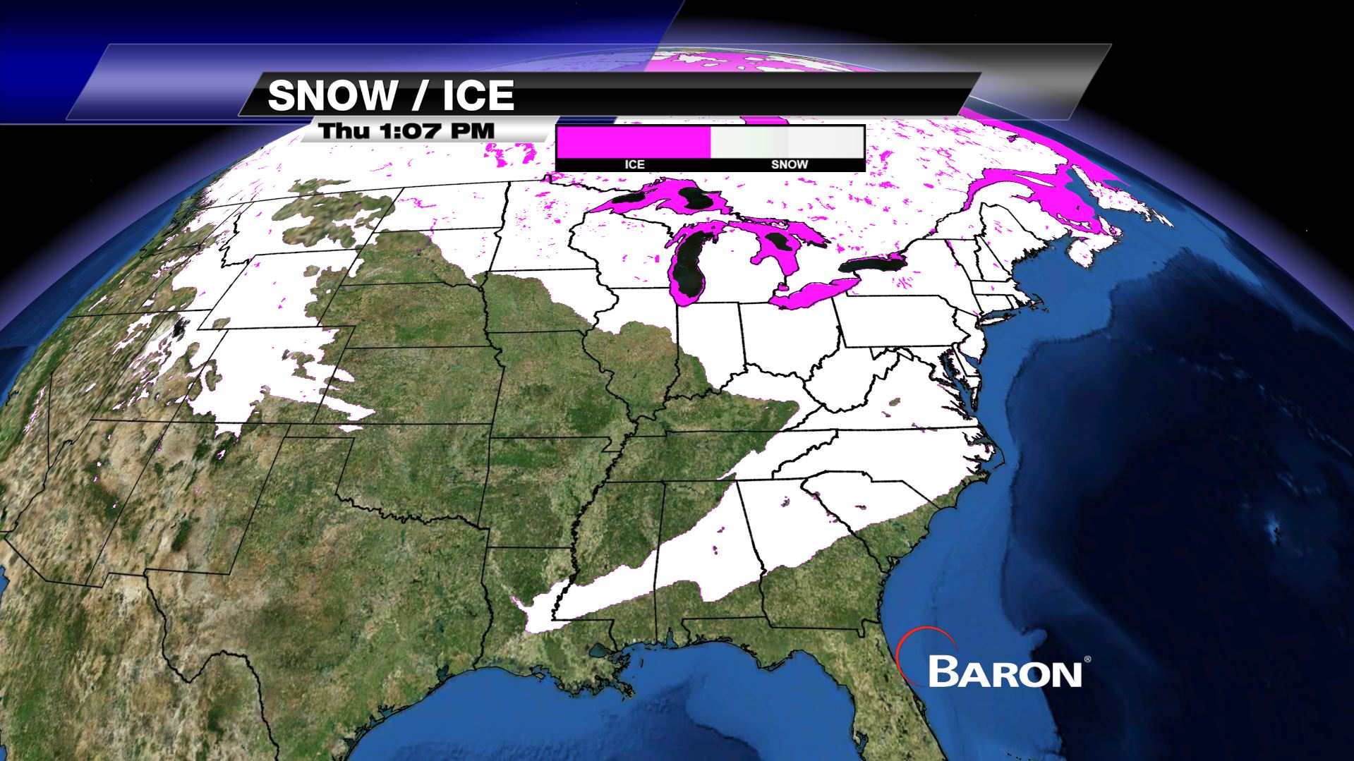
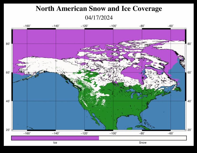
Broadcast Meteorologists have expressed interest in the sea ice coverage over the Great Lakes and other North American bodies of water. This information can be helpful when forecasting for lake-effect snow as well as informing viewers of the general conditions on the lakes, bays, etc., which would appeal to commercial and recreational mariners. In general weather discussions, an explanation of cold air masses moving over predominantly ice and snow covered regions can help explain the cold content of that air mass. Snow cover can be helpful to show viewers who are planning recreation trips as well as to convey general daily safety conditions.
A composite data set of snow and ice coverage is provided daily at 4 km resolution. This high-resolution data will allow the broadcaster to view close to shorelines and examine the sea ice extent in bodies of water such as the Great Lakes or snow cover at mountain peaks. As well, a broad view of the entire Northern Hemisphere can be seen to examine the extent of the Polar Ice Cap.