Dust Concentration
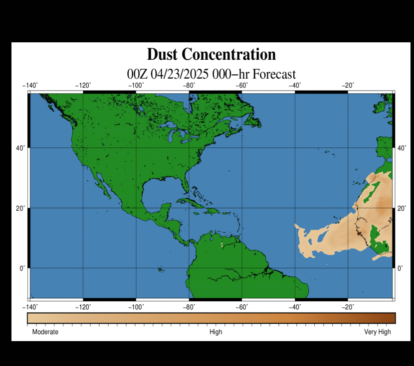
The Saharan Air Layer (SAL) is a mass of very dry, dusty air which forms over the Saharan Desert during the late spring, summer, and early fall and usually moves out over the tropical North Atlantic Ocean every 3-5 days. The SAL extends between 5,000 and 20,000 feet into the atmosphere and is associated with large amounts of mineral dust, dry air, and 55-mph winds between 6,500-14,000 feet above the surface in the central and western North Atlantic with a depth of 1-2 miles.
Recently, the impact of African dust on tropical systems, and particularly so-called “dust storms”, has gained attention among weather forecasters. The dust aerosols as well as their associated dry air and strong winds may negatively impact developing tropical waves and mature hurricanes in the eastern Atlantic. In turn, dust concentrations can restrict solar radiation, locally reducing sea surface temperature. In addition, high magnitude African dust outbreaks can extend across the ocean, and at the minimum be a nuisance event by covering cars in Florida, but also potentially impacting asthmatics and allergy sufferers. Furthermore, dust events can originate elsewhere, such as in Arizona, affecting drivers, pilots, and farmers.
WorldWinds, with data from a NOAA/NASA collaboration has generated a daily dust concentration forecast. This 10-kilometer resolution 240-hour forecast has 1-hour timesteps. It can be used to identify the Saharan Air Layer as well as forecast other potential dust events across the country.